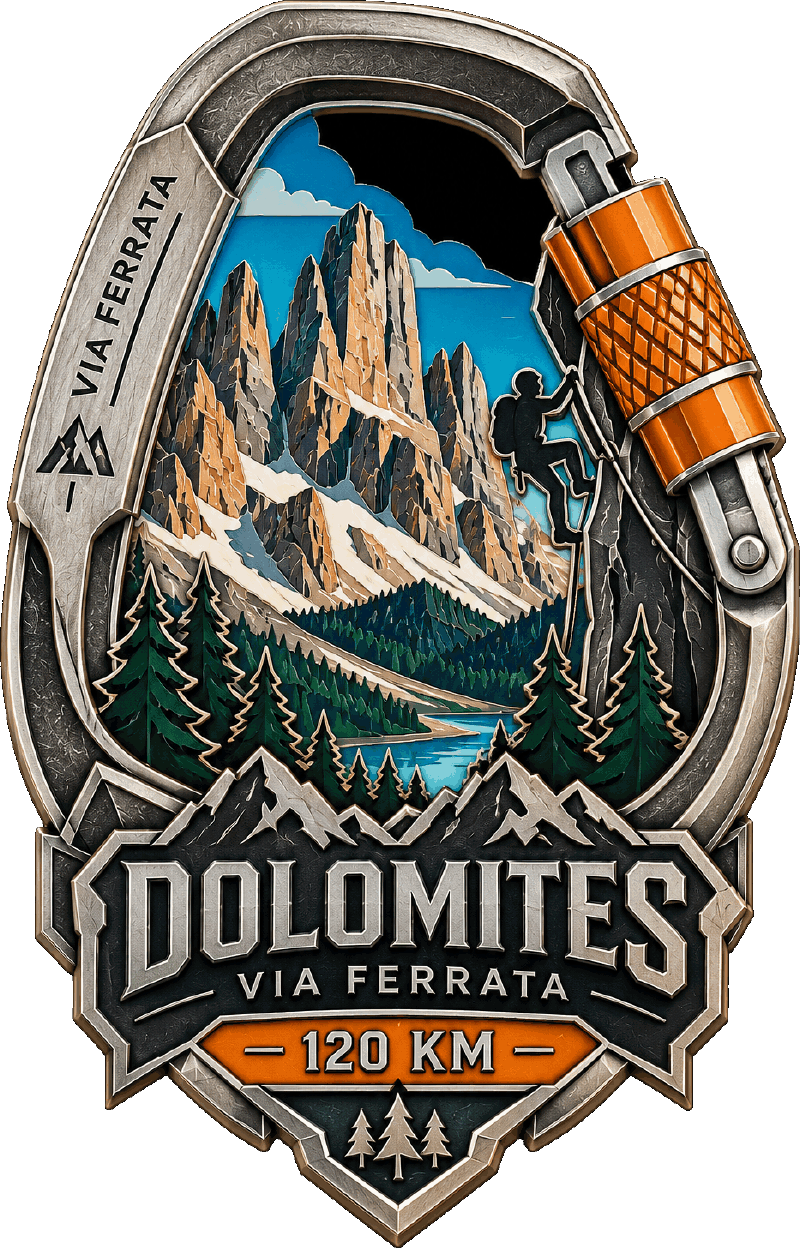
Walk the Dolomite high route
The classic north to south traverse of the Dolomites, reimagined as a virtual challenge you complete with your everyday steps.
This 120 km route follows the Alta Via 1, the best known of the Dolomite high routes, from Lago di Braies in the north to Belluno in the south. The range has been a UNESCO World Heritage site since 2009, listed for the pale rock towers that turn pink at either end of the day.
With Zelus, you walk the real trail coordinates. Your daily steps move you along the route on a live map, unlocking ten milestone checkpoints at the passes the walk is built around, including Forcella Lagazuoi, tunnelled through by both armies in 1915, and the long wall of the Civetta above Forcella Coldai.
10 milestones along the way
Each milestone marks a real landmark on the route. Unlock them one by one as your daily steps add up.
Leave the green water and the boathouse, and start climbing straight away.
The first saddle at 2,388 m, reached by a scree zigzag above the lake.
The valley way round, below the scree of Forcella del Lago, at a hut famous for its kitchen.
The high point at 2,572 m, tunnelled through by both armies in 1915.
Down to the road at 2,236 m, with the Nuvolau towers behind and Mondeval ahead.
The low saddle at 1,766 m between Pelmo and Civetta.
Onto the Civetta traverse at 2,191 m, a kilometre of wall on your right.
The last road crossing at 1,605 m before the wild southern groups.
The final high saddle at 2,351 m, and from here the walk drops to Belluno.
Out of the mountains and down to the Piave, the end of the Alta Via.
How it works
Ready to start walking?
Download Zelus and pick the Dolomites Via Ferrata route. Your first steps today count toward the finish line.
Frequently asked questions
How long does this challenge take?
The in-app target is 12 days, but there is no time limit. At around 4 km of walking per day you would finish in a month. Go at whatever pace feels sustainable.
What is the Alta Via 1?
It is a long distance high route through the Italian Dolomites, running roughly 120 km from Lago di Braies south to Belluno. Walkers usually take about ten to twelve days, staying in mountain huts along the way, crossing a series of passes rather than summiting peaks.
Do I need climbing experience?
Not for this. The real Alta Via 1 is a walking route with some exposed sections, and the via ferrata cables on parts of it are optional rather than required. In Zelus you are walking the distance from wherever you are, so no equipment or head for heights is needed.
Do I need to run?
No. Zelus is built for walking: commuting, errands, lunch walks, pacing on a phone call. Running counts too, but it is not required.
How are my steps converted to distance?
Zelus syncs with your phone's step counter and converts steps into kilometres using a calibrated stride length. Your position updates on the map automatically.
What happens when I finish?
You earn the Dolomites Via Ferrata completion medal, which is permanently added to your profile. Then you can pick your next route from the 20 challenges available.