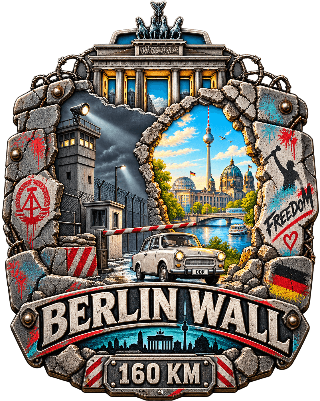
Walk the line that split a city
A full circuit of the Berlin Wall Trail, reimagined as a virtual challenge you complete with your everyday steps.
This 158.5 km route follows the Berliner Mauerweg, the trail laid along the course of the Wall that enclosed West Berlin from August 1961 until November 1989. It runs through the middle of the city and then out through woods, lakes and allotments, because the border did.
With Zelus, you walk the real trail coordinates. Your daily steps move you along the route on a live map, unlocking ten milestone checkpoints from the Brandenburg Gate and Checkpoint Charlie to Bornholmer Strasse, the crossing whose barrier went up first on the night of 9 November 1989.
10 milestones along the way
Each milestone marks a real landmark on the route. Unlock them one by one as your daily steps add up.
Set off where the Wall once sealed the gate shut and the city ended mid-street.
Where Soviet and American tanks faced each other down the barrel in 1961.
The longest surviving stretch, painted end to end the year after it opened.
The southern run, where the death strip followed the railway through allotments.
A West Berlin island marooned inside the East, reachable only by a guarded corridor.
The Bridge of Spies, where captured agents were walked across the white line at dawn.
The western salient, a village cut in half, its high street divided for 28 years.
The northern tip, where the border left the city for pine forest and open field.
The first crossing to lift its barrier on 9 November 1989, hours before any order came.
The memorial strip where front doors opened onto the East and people jumped from windows.
How it works
Ready to start walking?
Download Zelus and pick the Berlin Wall route. Your first steps today count toward the finish line.
Frequently asked questions
How long does this challenge take?
The in-app target is 14 days, but there is no time limit. At around 5.3 km of walking per day you would finish in a month. Go at whatever pace feels sustainable.
What is the Berliner Mauerweg?
It is a signposted walking and cycling trail around Berlin that follows the route of the Berlin Wall, roughly 160 km in total. It uses the former patrol roads where they survive, and passes memorials, surviving segments and the open ground where the death strip used to be.
Why is a city wall this long?
Because it went around West Berlin rather than between East and West Germany. The Wall enclosed the western half of the city completely, which is why the trail leaves the centre after a few kilometres and spends most of its length in forest, farmland and lakeside suburbs.
Do I need to run?
No. Zelus is built for walking: commuting, errands, lunch walks, pacing on a phone call. Running counts too, but it is not required.
How are my steps converted to distance?
Zelus syncs with your phone's step counter and converts steps into kilometres using a calibrated stride length. Your position updates on the map automatically.
What happens when I finish?
You earn the Berlin Wall completion medal, which is permanently added to your profile. Then you can pick your next route from the 20 challenges available.