Some walks need extra checks before a time can be estimated.
SECTION 01 Save section 1
Woolwich to Falconwood Thames riverside, then parks and woodland towards Oxleas.
11.6 kmSet a time above
↗ Woolwich Arsenal → Falconwood
Route notes Steep slopes, long flights of steps and mixed surfaces. Some parks close at dusk.
Published guide: 7.2 miles / 11.6 km, including station links.
Map & directions ↗ for section 1, PDF
SECTION 02 Save section 2
Falconwood to Grove Park Parks and residential streets, passing Eltham Palace.
7.1 kmSet a time above
↗ Falconwood → Grove Park
Route notes A stepped footbridge requires a lengthy detour to avoid. Mostly firm surfaces.
Published guide: 4.4 miles / 7.1 km, including station links.
Map & directions ↗ for section 2, PDF
SECTION 03 Save section 3
Grove Park to Crystal Palace Beckenham Place Park and the approach to Crystal Palace.
13.4 kmTime unavailable
↗ Grove Park → Crystal Palace
Route change · check details. Excluded from time filters.
Route notes & updates Long slopes, railway-bridge steps and potentially muddy paths.
Published guide: 8.3 miles / 13.4 km, including station links.
The summary table says 7.8 miles, but the PDF includes station links for 8.3 miles. A January 2026 park-diversion notice also needs checking. No time-fit estimate.
January 2026 park notice ↗ Map & directions ↗ for section 3, PDF
SECTION 04 Save section 4
Crystal Palace to Streatham Wooded ridges and parks towards the Rookery Gardens.
4.4 miles (disputed) Time unavailable
↗ Crystal Palace → Streatham Common
Distance needs checking. Excluded from time filters.
Route notes & updates Steep climbs and descents. Mostly hard surfaces, with a short rough path.
Published guide: 4.4 miles, kilometre figure unresolved, including station links.
The PDF prints 4.4 miles and 6.8 km as equivalents; they are inconsistent. Distance not reconciled, so no time-fit estimate.
Map & directions ↗ for section 4, PDF
SECTION 05 Save section 5
Streatham to Wimbledon Park Tooting Bec and Wandsworth Commons connected by residential streets.
9.2 kmSet a time above
↗ Streatham Common → Wimbledon Park
Route notes Substantial roadside walking. The guide describes level pavements and tarmac.
Published guide: 5.7 miles / 9.2 km, including station links.
Map & directions ↗ for section 5, PDF
SECTION 06 Save section 6
Wimbledon Park to Richmond Wimbledon Common and Richmond Park, ending near the Thames.
11.7 kmSet a time above
↗ Wimbledon Park → Richmond
Route notes Rough tracks, slopes and grass. Check current Royal Parks deer and dog guidance.
Published guide: 7.3 miles / 11.7 km, including station links.
Map & directions ↗ for section 6, PDF
SECTION 07 Save section 7
Richmond to Osterley Lock Riverside and canal walking through Isleworth and Brentford.
7.7 kmSet a time above
↗ Richmond → Boston Manor
Route notes Footbridge steps have an alternative. Some grass and short slopes.
Published guide: 4.8 miles / 7.7 km, including station links.
Map & directions ↗ for section 7, PDF
SECTION 08 Save section 8
Osterley Lock to Greenford Grand Union Canal, River Brent and linked green spaces.
8.9 kmSet a time above
↗ Boston Manor → Greenford
Route notes & updates Mostly level, with some short slopes. Earth and grass paths can become muddy.
Published guide: 5.5 miles / 8.9 km, including station links.
The 12 August 2026 notice reports Boles Bridge reopened. This is a dated report, not a live access guarantee. Follow current on-site instructions.
August 2026 bridge notice ↗ Map & directions ↗ for section 8, PDF
SECTION 09 Save section 9
Greenford to South Kenton Horsenden Hill and Harrow-on-the-Hill.
9 kmTime unavailable
↗ Greenford → South Kenton
Diversion · check details. Excluded from time filters.
Route notes & updates Steep climbs, steps, kissing gates and potentially slippery tracks.
Published guide: 5.6 miles / 9 km, including station links.
The April 2026 notice redirects walkers around works on Harrow School playing fields. Revised distance not verified, so no time-fit estimate.
April 2026 works notice ↗ Map & directions ↗ for section 9, PDF
SECTION 10 Save section 10
South Kenton to Hendon Park Fryent Country Park and Brent Reservoir between residential areas.
11.3 kmSet a time above
↗ South Kenton → Hendon Central
Route notes Some steep climbs and rough ground. The guide lists no public toilets.
Published guide: 7 miles / 11.3 km, including station links.
Map & directions ↗ for section 10, PDF
SECTION 11 Save section 11
Hendon Park to Highgate Green spaces and woods towards Highgate.
9 kmSet a time above
↗ Hendon Central → Highgate
Route notes Steep and rough stretches towards Highgate; consult the guide for alternatives.
Published guide: 5.6 miles / 9 km, including station links.
Map & directions ↗ for section 11, PDF
SECTION 12 Save section 12
Highgate to Stoke Newington Parkland Walk, Finsbury Park and the New River corridor.
9 kmTime unavailable
↗ Highgate → Stoke Newington
Diversions · check details. Excluded from time filters.
Route notes & updates Steps near the start and published diversion notices; use current guidance.
Published guide: 5.6 miles / 9 km, including station links.
Map & directions ↗ for section 12, PDF
SECTION 13 Save section 13
Stoke Newington to Hackney Wick Springfield Park and the Lee Navigation towpath.
6.4 kmSet a time above
↗ Stoke Newington → Hackney Wick
Route notes Some narrow, rough towpath and steep bridge approaches. Park steps have a steep ramp alternative.
Published guide: 4 miles / 6.4 km, including station links.
Map & directions ↗ for section 13, PDF
SECTION 14 Save section 14
Hackney Wick to Beckton District Park Olympic Park surroundings and the Greenway corridor.
8.4 kmTime unavailable
↗ Hackney Wick → Royal Albert
Greenway works · check details. Excluded from time filters.
Route notes & updates Long-term works affect the published route. Do not rely on the old PDF alone.
Published guide: 5.2 miles / 8.4 km, including station links.
The maintainer describes Greenway works extending to 2028. Diversion distance is not incorporated into the old total, so no time-fit estimate.
Greenway works and alternatives ↗ Map & directions ↗ for section 14, PDF
SECTION 15 Save section 15
Beckton District Park to Woolwich Docklands and the approach to Woolwich.
7.1 kmTime unavailable
↗ Royal Albert → Woolwich
Route updates · check details. Excluded from time filters.
Route notes & updates Lock access can change. The source table and PDF name different finish stations.
Published guide: 4.4 miles / 7.1 km, including station links.
The June 2026 notice updates the older lock closure. The summary names Woolwich Arsenal; the PDF names Woolwich. Finish/distance and lock waits need checking, so no time-fit estimate.
June 2026 lock update ↗ Map & directions ↗ for section 15, PDF
How are walking times calculated? Published distance ÷ your chosen pace, plus your allowance for stops, rounded up to five minutes. The default is 4 km/h with 15 minutes extra. This is a rough planning estimate, not a promised arrival time. Train journeys are excluded.
Six sections have unresolved distances or route updates, so they don't appear when you set a time limit. Clear the time field to see them. Distances are from the guides, not measurements made by Zelus.
Before you go: route notes & sources Read your walk's notes and the latest maintained notices , then check transport and local conditions. Routes may include steps, steep slopes or muddy paths. No walk has been independently checked by Zelus for access or safety.
Section facts and directions: Inner London Ramblers' Capital Ring guides . Checked 14 September 2026 . Notice dates are not a live closure feed; follow current on-site instructions.
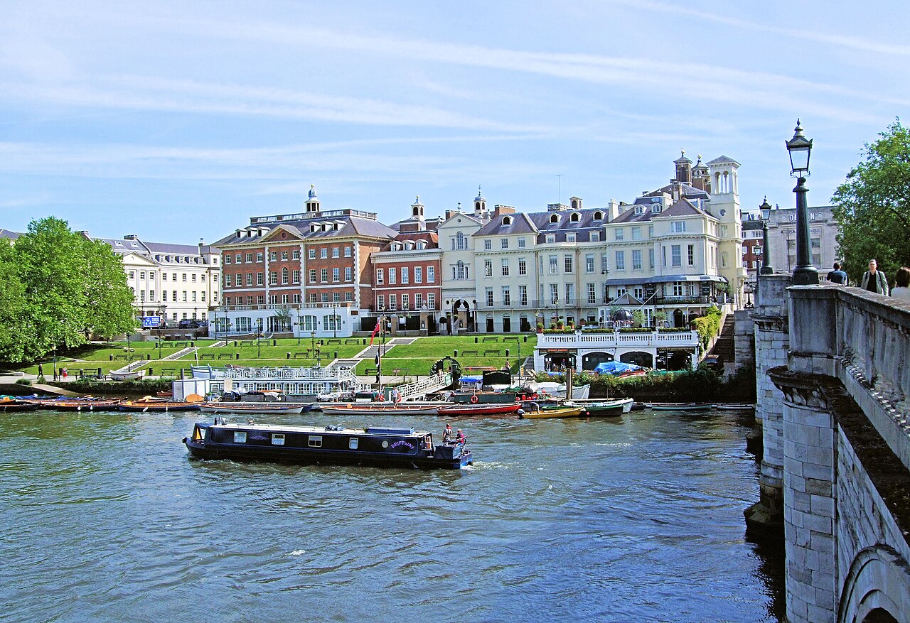
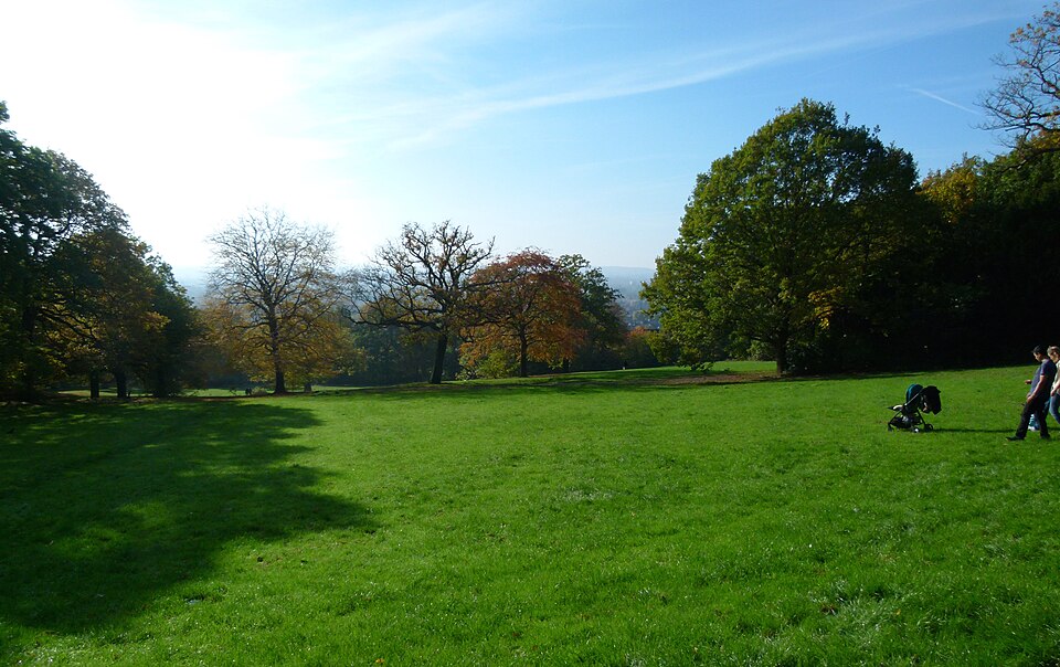
Photo credits Richmond riverside : Jim Linwood, 2014, CC BY 2.0 . Oxleas Meadow : Kleon3, 2015, CC BY-SA 4.0 . Display crops; Oxleas image remains under the same licence. Photographs illustrate the places, not current route conditions.
.jpg)
